


montours couardes 13,2km

coglais
User
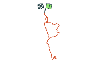

Length
13.3 km

Max alt
163 m

Uphill gradient
157 m
Km-Effort
15.3 km

Min alt
113 m

Downhill gradient
157 m
Boucle
Yes
Creation date :
2021-04-28 13:31:05.16
Updated on :
2021-04-28 13:32:58.051
3h00
Difficulty : Easy

FREE GPS app for hiking
 SityTrail
IGN / Geographical institutes
SityTrail Plus
The world is yours!
About
Trail Nordic walking of 13.3 km to be discovered at Brittany, Ille-et-Vilaine, Les Portes du Coglais. This trail is proposed by coglais.
Positioning
Country:
France
Region :
Brittany
Department/Province :
Ille-et-Vilaine
Municipality :
Les Portes du Coglais
Location:
Montours
Start:(Dec)
Start:(UTM)
625237 ; 5366981 (30U) N.
Comments